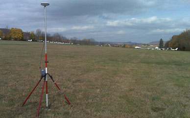
Aerial Mapping Surveys are topographic surveys of large scale properties. This can be accomplished by Photogrammetry using cameras carried in airplanes to obtain images of the earth’s surface. Photogrammetry depends on Ground Control which are points of known positions and elevations obtained from surveyors usually using GPS technology.